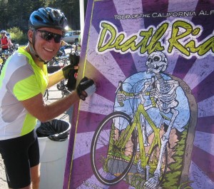
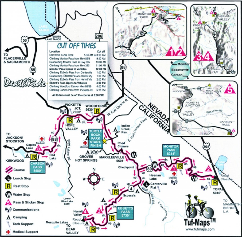
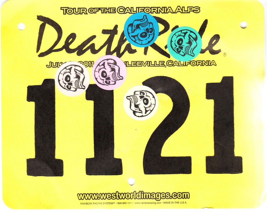
So I completed the second of my 4 events for the year – the California “Death Ride“, so named because it covers 129 miles over 5 mountain passes, totaling 15000 feet of climbing, all at high elevation! It is not a race: there were no timing mats to cross, no split times. In fact, there were numerous rest stations where the riders took the time to get off their bikes to rest and eat and chat with other riders. But with all those miles and all those climbs, finishing before the cut-off would be my challenge.
Arrival and Acclimation
I’d trained for the distance and the climbing, so I felt I could handle the long hours in the saddle. I was even ready for the hydration issues, very aware that I needed to drink water frequently. I didn’t worry about the elevation, because the high point of 8,700 feet didn’t seem so high. I’ve hiked at 13,000 feet with no problem. (OK, so that was 30 years ago.) But as it turned out, that’s where I suffered the most. Living in San Jose, there’s no way to train for altitude. And it hit me worst the day I arrived.
I drove in via Highway 4 over Ebbetts Pass, which is 8,700 feet. I thought I was hydrating during my drive but I developed a headache coming over the pass. I look back now and realize that was the beginning of my altitude sickness.
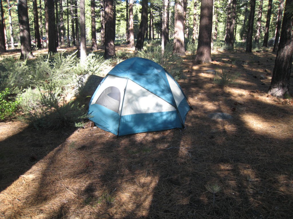
As I approached Markleeville I forgot my headache. I went directly to Turtle Rock Campground to check in for the ride. After picking up my ride packet, I asked a volunteer for suggestions as to where to camp. A camp attendant, Sue, let me set up my tent right behind her trailer. I couldn’t have asked for better, as you can see from the photo. I would be sleeping on pine needles, next to a creek, and just minutes from the starting line of the ride.
Things were looking very good; a great beginning to the event itself. I set up my campsite and waited for dinnertime. Feeling tired, I took a brief nap, then I went to the pre-ride pasta feast hosted by the ride coordinators. The food was terrible, but the company was fun. I had a nice talk with a botanist for the Botanical Gardens in Tilden Park in Berkeley. He loves his job, part of which involves hiking the Sierras for specimens. For his ride training, he bikes to work every day.
After dinner, I went back to the tent to nap again. As it turns out, sleepiness is a sign of altitude sickness. And the headache was still there. When I woke up from this nap, I was feeling both nauseous and agitated. I walked up and down the road between the Expo and the campsite, hoping to feel better. By 10pm I was starting to panic. Breathing was difficult. I walked to the sheriff’s office, hoping they had oxygen there. They were very nice, but the best they could do was suggest I do “combat” breathing, which I’ve heard called “belly” breathing in my yoga classes. I went back outside, hoping the darkness and fresh air would help me feel better. I stopped to ask a local volunteer for his advice, and he recommended drinking water, which I was already doing. Since I was alone on this trip, I was “depending on the kindness of strangers.” Everyone I talked to was very friendly and as helpful as they could be.
In my anxiety I started to pack up the car. But I was reluctant to leave, thinking of my long months of training and the friends who’d supported and encouraged me. I also didn’t think I was capable of a long night drive over 8,500 foot Carson Pass. But I knew if I didn’t leave that night, I’d be stuck the next day, as traffic would be severely restricted during the ride.
By 10:30pm, I knocked on the door of Sue’s trailer to let her know I might be leaving. My car was parked in front of it, and I didn’t want to startle her. Although I’d woken her up, she never got mad. She offered me a free sample of electrolytes that she’d picked up at the expo and two aspirin.
I was now very drowsy. I went back to the tent to rest and fortunately fell into a deep sleep. I guess the electrolytes, water, and aspirin all finally helped. I didn’t wake up until 3:30am. And I felt much, much better, although still a bit unsteady. As I lay there, I thought about riding back up to 8,000 feet, not just once, but 5 times. At 4:15am someone in the campground started playing bagpipes. To whoever that was, Thank You. I stopped thinking and started moving. I had breakfast, organized my riding supplies, put on my riding gear, got on my bike, and got going. It was 6:10am, 40 minutes after the official start of the race. That turned out to be a good decision, as the bulk of the riders were ahead of me and I had fewer riders to deal with on the downhills.
Monitor Pass
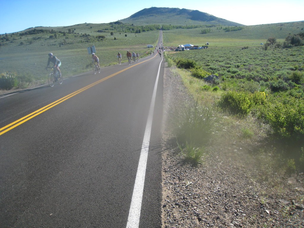
Joy! As I rode, I felt better and better. I took it easy as I climbed to the top of Monitor Pass. It was a beautiful, peaceful morning. While the road is winding, it has very few switchbacks. Ahead of me were hundreds of riders stretched out over several miles of road. There was almost no sound. The image was one of refugees leaving their homes, very serious, very quiet, slowly climbing the mountain road.
For a few miles, I rode alongside a new friend, Ray, who was video taping the ride using a helmet-cam. (Shout-out to Ray…hey buddy!) He was from Santa Cruz, but is now living in Reno. He did the ride last year and told me about what to expect of the climbs ahead.
At the top of Monitor Pass was the first of the rest stations, at mile 15 of the 129 mile ride. Here I received my first mountain pass sticker. Just four more to go. From there, it’s a long fast descent to Highway 395. None of my photos really do justice to the steepness of the road. The view into Nevada was terrific. It was also very sobering, because you realize you’re going to be climbing back up soon enough.
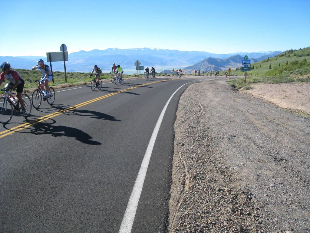
From the Mono County sign (see photo) was the first of five very fast descents. Maybe altitude made me a little less cautious or maybe it was just the thrill, but I used my brakes as little as possible. I was hauling ass! And it was EXCELLENT! My guess is that it was 30 minutes of VERY fast riding. I arrived at the next rest station, which was at the bottom of the hill, totally pumped!
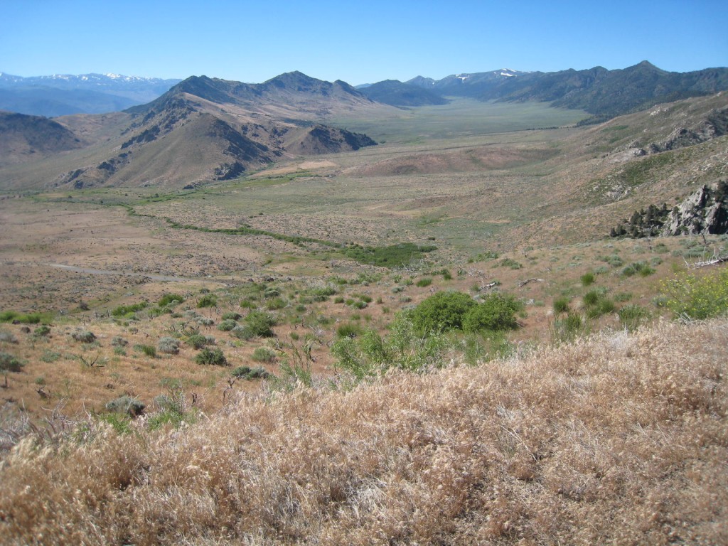
I was ready to do it again, even though that meant climbing back up that same road to Monitor Pass. I got my second mountain pass sticker and started the long climb up. Why do they give you the sticker at the bottom? Because you’ve got nowhere else to go but up and over Monitor Pass again. None of these climbs are easy, but my training served me well and I had no problems with this second climb. The rest stop at the top is mile 35 of the ride. I took a brief rest at the top of Monitor Pass before beginning my next descent.
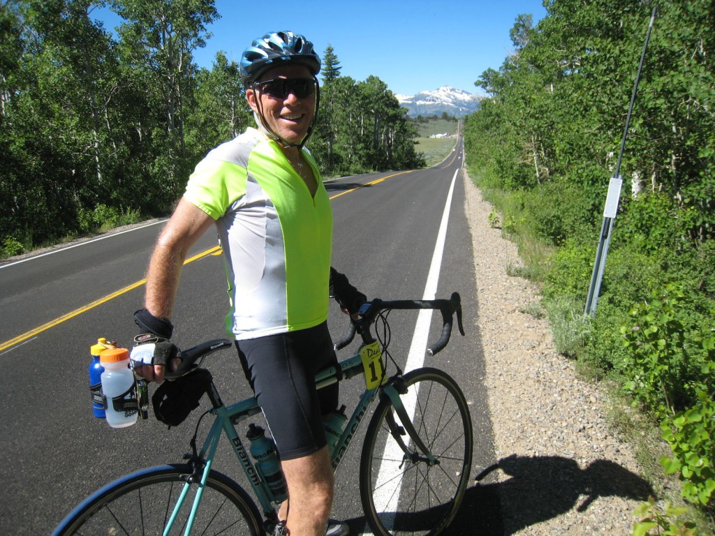
This descent was the best all day. I’d paid attention to the road conditions during the ride up. It was clean, with a fairly new surface and no serious cracks or potholes. So as my speed picked up on the descent, I was uninterested in slowing down. I looked at my bike monitor to check my speed. 48mph. I was 60 pushing 50. But I wasn’t thinking of how old I was; I was in pure adrenaline, speed junkie mode. I crouched lower, my chin nearly on the handlebars, to get as aero as I could. It was awesome!
A road bike weighs 20 lbs and rolls on very narrow tires with no shock absorbers. This rider is a skinny old guy dressed in thin lycra shorts. The two long climbs up Monitor had me feeling strong; the long descent to Highway 395 had raised my confidence in the downhill. I was feeling in a biking mood. As I raced down the mountain, my attention was focused on the road surface and the curves ahead. I was aware of everything, the wind, the noise, every little bump. I kept my arms and shoulders relaxed and used my core strength for control. By the time I reached the bottom, I was surprisingly tired but very much ready for more.
Ebbett’s Pass
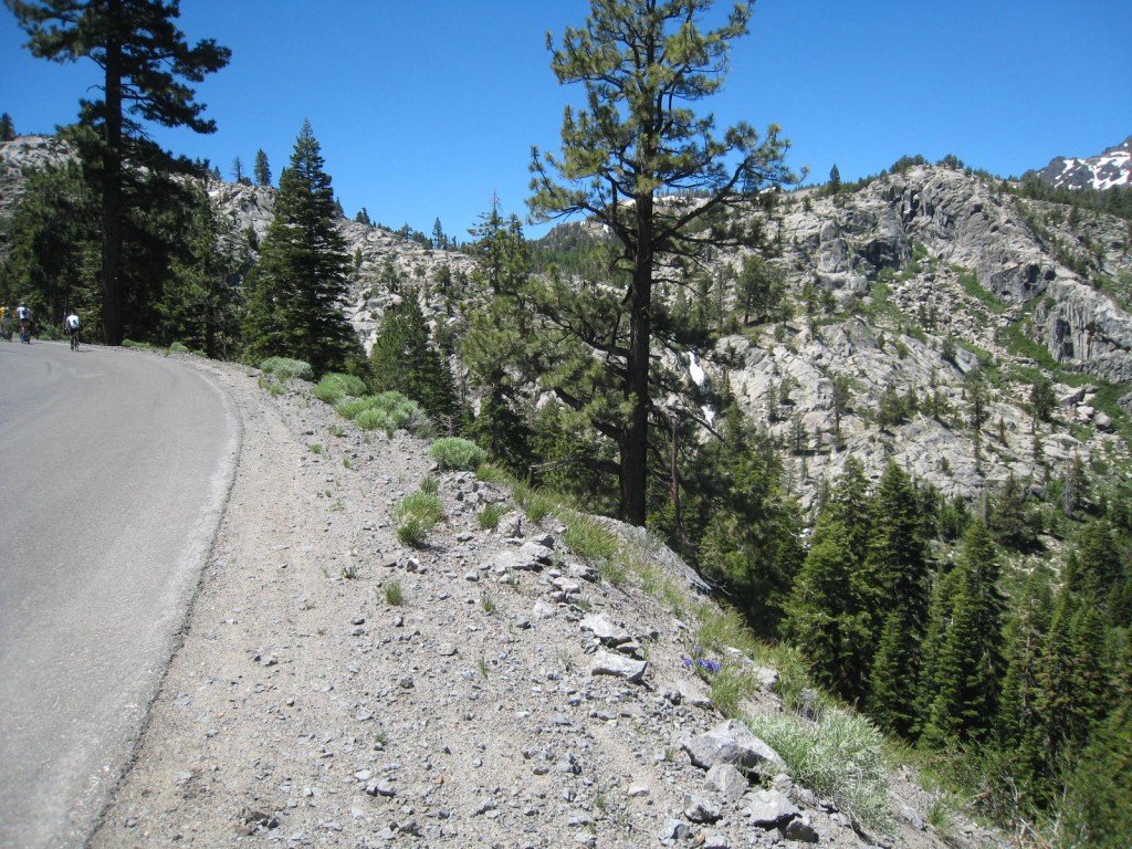
Next up was Ebbetts Pass. By now I knew I could do this ride. This third climb is very pretty, although a bit more difficult than the Monitor Pass climbs. Much of it is along the Silver and Upper Cascade creeks, and parts are steep switchbacks. I felt good. I stopped a few times, not because I was tired, but because it was beauty to be enjoyed. Again, no cars, just riders tackling a serious hill climb. And I wasn’t racing against the clock.
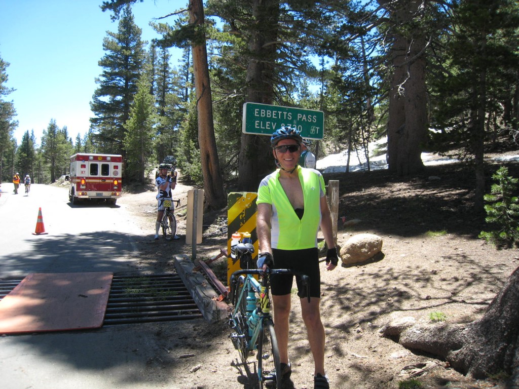
A couple of times I stopped just to watch good riders riding speeding down a particularly fast stretch of the road. They were amazing on their descents, sometimes riding 3 abreast, some yelling “left…left…left…” to let the others know they were passing. Their bikes made an angry buzz. The riders were taking serious risks. The road conditions unfortunately were not so good. During my drive down Ebbetts and into Markleeville the day before, I was shocked to encounter road crews in the process of throwing down asphalt to patch the potholes. My car was throwing tar and asphalt as it rode over the fresh patch-work. Amazingly, by the time of the ride the new asphalt seemed to have been packed down and cleaned up. But not all the potholes had been filled. As I biked to the top of Ebbetts Pass, I made a mental note of nasty stretches to be very attentive of during the descent.
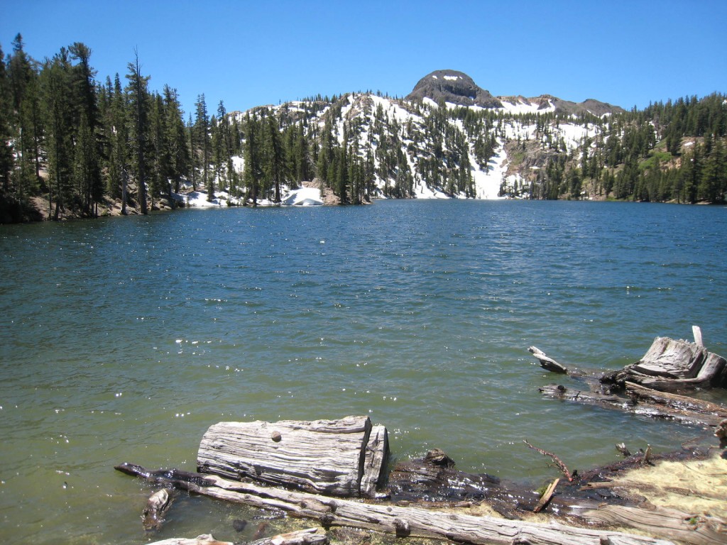
There was a rest station at the top of Ebbetts Pass which marks mile 55. Feeling good, I rode through it. This next descent was much shorter and much slower, because there were so many riders making the return climb. I think I was starting to catch up with those who had started earlier. I did stop at the rest stop set up at the bottom, which is Hermit Valley. It was starting to get warm and I wanted to be sure I stayed hydrated. The climb back up to Ebbetts Pass was the hottest part of the day, partly because there seemed to be no wind. But it was only just over 5 miles of climbing, so it wasn’t too bad. I still had enough energy to enjoy the high Sierra scenery of this section of the ride, with its thinning forest and snow-covered mountain peaks.
It was a good feeling getting to the top of Ebbetts Pass, as this was the fourth of the five climbs, and it marks mile 70. This time I stopped at the rest stop to eat and hydrate and think about the last stretch of the ride. And I needed to be very focused for the 15 very steep miles of downhill over crappy road conditions with switchbacks. I climbed back onto my bike and got ready to ride. But before I could start, I had to move aside for an ambulance. Just a reminder of the consequences of bad judgment and/or bad luck. Crashing at 50mph must hurt. And as I later learned, that’s what had just happened to a rider. He’d hit a pothole, blown a tire, bounced off the hillside, and wrapped around a tree. There but for fortune…
Every day, I appreciate how lucky I am to do these events, and I think everyone who does them feels a camaraderie that they miss in everyday life. Endurance events require a lot of discipline, a lot of training alone, and they all entail risk. So there’s a special bond when we meet at these events.
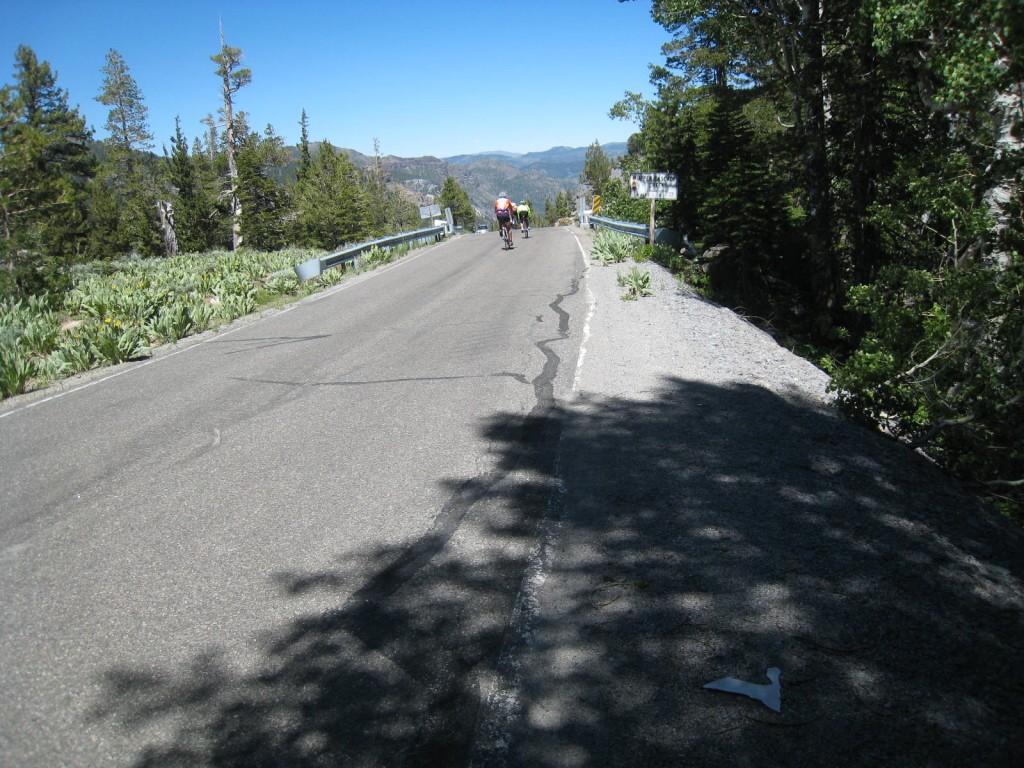
As I started my descent, I was careful, remembering the road conditions and the ambulance I’d just seen. But soon it was caution to the wind. Was it the altitude that gave me a greater sense of confidence, or did I really know what I was doing? Whatever it was, I was soon barreling down the hill using my brakes only when necessary. My attention was completely focused on the 10 feet of road in front of me. Care and luck got me safely down the hill. Another terrific downhill ride!
The rest stop at the bottom offered lunch, so I stopped to eat a burrito containing a meat? fish? secret protein food? Who knows, and who cares. It tasted great.
At that point, I’d been riding for nearly 9 hours, and I had another 50 miles and one mountain pass ahead of me. I’d be riding right by my campsite. How tempting to consider calling it a day and climbing into my tent for a nap. NO WAY! I was in this for the full 5 passes. Hey, there’s free ice cream at the top of the fifth pass. I’m going for it.
Carson Pass
From the Centerville Flat rest stop, the road continues its descent into Markleeville. From there it’s a gentle climb to Hwy 88 at Woodfords. Then the real climbing begins again. At the rest stop at Woodfords, I became concerned about cut-off times. I’ve been told it’s a long climb to the top of Carson, and I was feeling tired. It was late afternoon, and I was losing focus. I needed to find an incentive to keep going. I imagine being booted off the course, but I had only this one more pass to complete. That gaves me the motivation I needed. I started cranking uphill and reached the next rest top much faster than I’d expected. Now I knew I could finish. A mile up the road there was a long false flat. I kept passing riders. I was feeling good.
Then the climbing resumed. I was good for a few more miles before I broke for good. By the last 1-2 miles I stopped three times, watching dejectedly as riders pass by. Nothing I could do or think provided that last boost I needed. And the altitude was getting to me again. Not serious sickness, but definitely an energy drain. There was nothing left but a slow, exhausting slog to the top. I had to concentrate on each turn of the pedals bringing me closer. Doubt started to creep in. Anger fought back. This became the measure of my endurance.
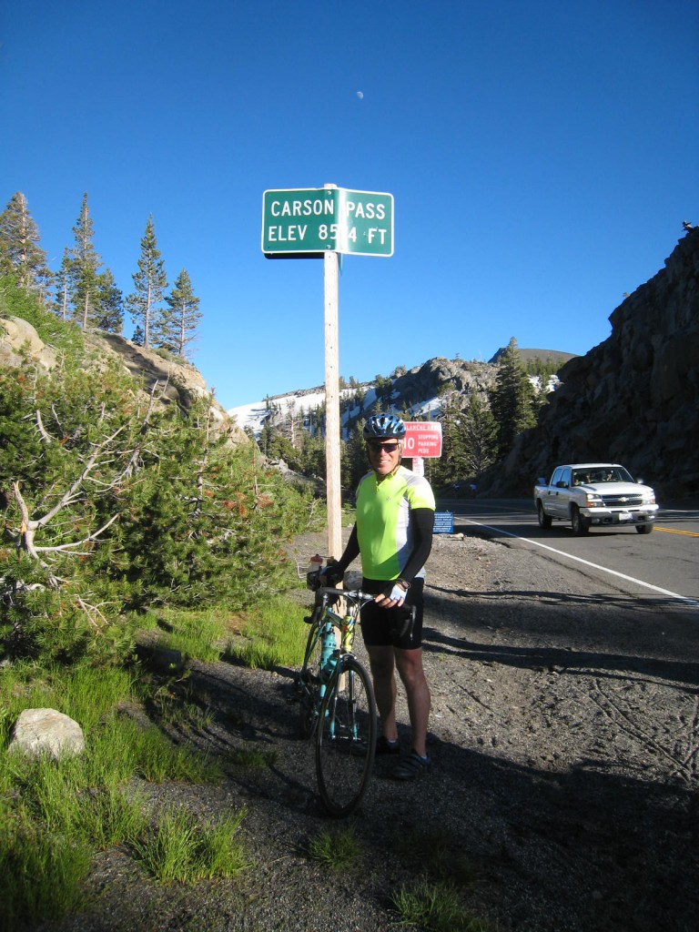
Finally, a sign letting me know that the top was just ½ mile ahead. A few minutes later and I’m done.. Hoo haw! Fifth pass! After that it’s downhill all the way. But first my reward: ice cream! Hey, where’s the ice cream truck going? They’re out of ice cream? Argghh…I guess that’s the price I pay for starting 40 minutes late. Disappointed, I consoled myself with finding a tiny space on the ride poster to sign my name. The feeling at this stop was subdued. It was the end of a long hard day, and there was still 20 miles to go.
It didn’t take long for the enthusiasm to return. It was a very long and fast descent back to Woodfords, and I enjoyed every moment. I got back up to 50mph, even though I was tired the road surface is not very good.
The Finish
From Woodfords, it was a gentle climb back up to Turtle Rock Campground and the end of the ride. There were cars parked along the entire 3-4 miles to Turtle Rock, all belonging to riders and their friends and families, most of whom camped next to their cars. It reminded me of the Altamont Rock Concert in 1969, when cars parked for miles on both sides of Hwy 580, shutting down the freeway. Everyone I passed was in a great mood, cheering on the riders. What a great day!
Next to finishing, the best things about the end of any event are the shower and the meal. The campground had only one shower, but it had hot water. And really, I didn’t wait long. Water brings life, and I was soon feeling back to normal. Then it was off to the free dinner, where the only thing I wanted was the very salty chicken stew and the 7-Up. I was recovering quickly.
And finally – the tent, the sleeping bag, the eyes closed, and the deep, deep sleep. I slept solidly until about 3:30am, when the cold woke me up. I lay there enjoying the quiet and watching as sunrise slowly brought light. The tent warmed, and soon I was fast asleep again. When I woke at 8:30 I felt totally recovered.
I took my time enjoying my breakfast of homemade granola and Kefir. I talked for a bit with two new friends, Morgan and Anja. Morgan is a first-year U.C. Berkeley student majoring in English Lit., so we had plenty to talk about. Anja hadn’t registered for the ride, but what else is there to do when everyone else is riding. She decided to ride to the top of Ebbetts Pass, the toughest climb. Way to go, Anja!
So that was the event. If you’re considering doing it, I’ll end this with what bits of information you might find useful in planning for the ride.
First, make sure you get your bike thoroughly checked out. Make sure your tires are good; some of the road conditions are terrible, which is not unusual for narrow mountain pass roads that are closed in winter. Also check your wheel spokes and make sure your wheels are true. You don’t want to be questioning the condition of your bike when you’re speeding downhill. I’ve got a very nice bike (steel frame Bianchi), but even then I noticed the start of speed wobble on the downhills. The cross-winds on Hwy 88 don’t help. Good core strength is critical to a fast downhill. It’s needed to maintain control and keep in the aero position.
For training in the San Jose area, I liked the roads in the East Hills. I gained confidence for the downhill by riding Mt Hamilton, San Filipe, Sierra, and Calaveras roads. I trained for distance by riding over the back side of Mt Hamilton. And I got very good uphill workouts on Quimby, Metcalf, Sierra, and of course Mt Hamilton, sometimes doing all of them in a single ride. And for each of my workouts, I was very attentive to hydration and nutrition issues, learning what worked for me.
Which brings me to nutrition and hydration: Sun exposure is more intense in the Sierras. Be sure to hydrate, including salt/electrolytes. I used very little of my electrolytes, but relied heavily on V8 and salted potatoes. I also ate 1/2 banana at many of the rest stops. I’d recently been advised to have 2 bottles of water for every bottle of electrolytes. I use 1 Nuun tab/bottle for electrolytes. I ended the ride with the bottle half full. For the first time, I also relied much more on high-caffeine Gel nutrition packets. I consumed at least 5 packets, my favorite of which was 2nd Surge Ultra energy with 100mg caffeine. I’ve been concerned recently with sleepiness during long races and training rides. The caffeine was very effective, and seemed to have no downside.
Next up is sunscreen. The altitude, and of course the beautiful weather, required lots of sunscreen. I started the ride by spraying on a heavy coat of sunscreen. Big mistake. As the day got warmer, the sunscreen got in my eyes, burning so bad I could hardly see. That’s OK on climbs, but not so good on the downhill. As for quantity, I took along two free-sample packets I’d received at a previous event and I used both. They contained enough sunscreen so that I was able to apply it heavily to the back of my neck, my arms, and my face, taking care to avoid the area around my eyes.
If you’re interested in the swag, well, there’s not much. You get a water bottle, a very small pin, and a cloth patch. But I appreciated the simplicity of it all, especially the rewards of a sticker for each mountain pass and an ice cream for the final pass. There’s also a poster to sign at the top of peak 5. Get there early. By the time I arrived, it was filled with signatures, so I had a hard time finding a place to sign.
There’s lots of videos of the ride on YouTube and Vimeo. Here’s a good one of the whole ride. I love his commentary when he realizes there is a false peak before Ebbetts Pass. Here’s one of the descent down Monitor Pass. It shows the first third of the ride down Monitor, up to the time his contact lens flew out because of the speed. Unfortunately, this is where the descent becomes the fastest. You can see how good the road conditions are on this, my favorite stretch of the road.
Statistics from my bike computer:
Time: Unfortunately my bike computer actually read 1:21:43; my guess is it started recounting at 12hrs and not 10hrs.)
Dist: 126.34 miles
Avg: 11.1 mph
Max: 48.8 mph
Calories Burned: approx. 5000 calories (this based on what Morgan said he’d burned)
When Jim is not training or participating in endurance events, he is the owner of Phoenix Technical Publications. Phoenix Tech Pubs has provided complete technical writing and documentation services in the San Francisco Bay Area for over 25 years.